About the Africa Regional Integration Index Platform (ARIIP)
Welcome to the Africa Regional Integration Index platform. This platform provides the user with a wealth of information on regional integration on the African continent. Regional integration is a complex concept that englobes the trade, productive, macroeconomic, infrastructural and free movement of people dimensions. These dimensions are not stand-alone but function as a whole to foster regional integration. This platform allows the user to access the Africa Regional Integration Index (ARII) 2019 scores and rankings as well as the data used to compute these scores and a vast array of related information. Information is available at various levels:
- 54 countries
- 8 RECs
- 5 dimensions
- 16 indicators
Dimensions
Overall Regional Integration

Trade Integration
X
The trade dimension includes the intra-regional exports share and intra-regional imports share as a percentage of GDP. It includes the share of intra-regional goods trade as a percentage of total regional trade. To effectively capture policies that enhance trade openness the level of tariff on imports is added in the dimension.
Specific to the African region, the AfCFTA, a variable capturing whether countries have signed or ratified the trade agreement is also included.
Trade Integration
The more a country trades with others in the region, the better integrated it is considered. Trade fosters linkages beyond mere exchanges of goods. It enhances interdependencies and promotes cooperation and stability.The trade dimension includes the intra-regional exports share and intra-regional imports share as a percentage of GDP. It includes the share of intra-regional goods trade as a percentage of total regional trade. To effectively capture policies that enhance trade openness the level of tariff on imports is added in the dimension.
Specific to the African region, the AfCFTA, a variable capturing whether countries have signed or ratified the trade agreement is also included.
Indicators
- Share of Intraregional Trade
- Average Tariff on Imports
- Share of Intra-Regional Exports over GDP
- Share of Intra-Regional Imports over GDP
- AfCFTA*
Average Trade Integration in Africa

Productive Integration
X
Productive Integration
It refers to the extent to which a country has complementary productive capacities with respect to other countries in the region whereby it can specialize in the production stages where it has a comparative advantage benefitting from scale economies. It entails the country’s involvement in the regional supply and value chains. It is measured in ARII through the imports of of intermediates goods and exports of intermediates goods in the region. The trade complementarity index is also included in this dimension; it measures the extent to which the export profile of a country matches the region import profile.Indicators
- Share of Intra-Regional Intermediate Imports
- Share of Intra-Regional Intermediate Exports
- Merchandise Trade Complementarity Index
Average Productive Integration in Africa

Macroeconomic Integration
X
It is measured through the variable regional inflation differential which measures the difference between a country’s inflation rate to the target inflation rate set by the region otherwise the minimum positive rate is used. The dimension also includes the regional convertibility of currencies so as to measure the ease with which foreigners and businesses can transact. The number of bilateral investment treaties in force has been used to capture the scope of cross-border capital flows.
Macroeconomic Integration
The convergence and stabilisation of macroeconomic policies create a healthy financial climate that attracts cross-border investments and is, therefore, conducive to financial and macroeconomic integration.It is measured through the variable regional inflation differential which measures the difference between a country’s inflation rate to the target inflation rate set by the region otherwise the minimum positive rate is used. The dimension also includes the regional convertibility of currencies so as to measure the ease with which foreigners and businesses can transact. The number of bilateral investment treaties in force has been used to capture the scope of cross-border capital flows.
Indicators
- Regional Convertibility of Currency
- Regional Inflation Differential
- Number of Bilateral Investment Treaties
Macroeconomic Integration

Infrastructural Integration
X
It is assessed through the AfDB Infrastructural Development Index, a composite index that accounts for development in electricity; transport; ICT; and water and sanitation and the proportion of flight connections in the region that captures cross-border connectivity.
Infrastructural Integration
The extent to which a country has adequate Infrastructure that facilitates the workings of regional integration is captured by the infrastructural dimension.It is assessed through the AfDB Infrastructural Development Index, a composite index that accounts for development in electricity; transport; ICT; and water and sanitation and the proportion of flight connections in the region that captures cross-border connectivity.
Indicators
- AfDB Composite Infrastructural Index
- Proportion of Intra-Regional Flights
Average Infrastructural Integration in Africa

Free Movement of People
X
It is measured through the number of countries whose citizens are granted visas on arrival by each country in the region is used as a variable. Since many countries still have very rigid borders so that citizens of some countries have to go through the hassle of obtaining a visa before they travel, the variable the number of countries whose citizens strictly require visa is also included to differentiate countries with close and open borders.
Additionally, the dimension is also comprised of a variable that identifies whether countries have adhered to the protocol on the free movement of people, right of residence and right of establishment.
Free Movement of People
The ease with which people can move in the region for tourism and social purposes, and to conduct businesses reflect integration on the free movement of people dimension.It is measured through the number of countries whose citizens are granted visas on arrival by each country in the region is used as a variable. Since many countries still have very rigid borders so that citizens of some countries have to go through the hassle of obtaining a visa before they travel, the variable the number of countries whose citizens strictly require visa is also included to differentiate countries with close and open borders.
Additionally, the dimension is also comprised of a variable that identifies whether countries have adhered to the protocol on the free movement of people, right of residence and right of establishment.
Indicators
- Number of Countries that Require a Visa
- Number of Countries that may obtain a Visa on Arrival
- Free Movement of Persons Protocol
Average Free Movement of People in Africa
Continental and Regional Integration
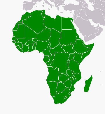
Continent
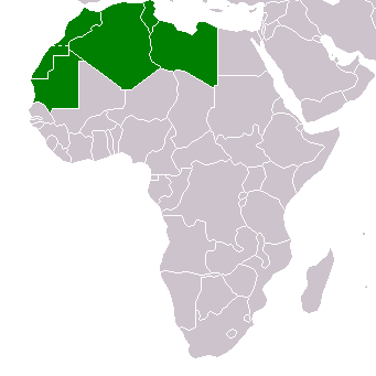
AMU
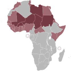
CENSAD
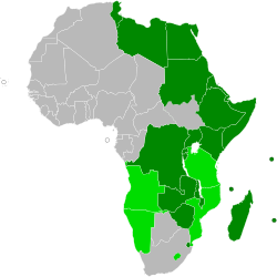
COMESA
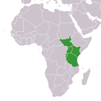
EAC
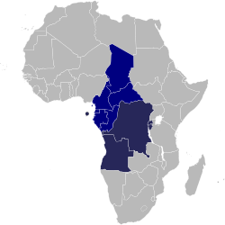
ECCAS
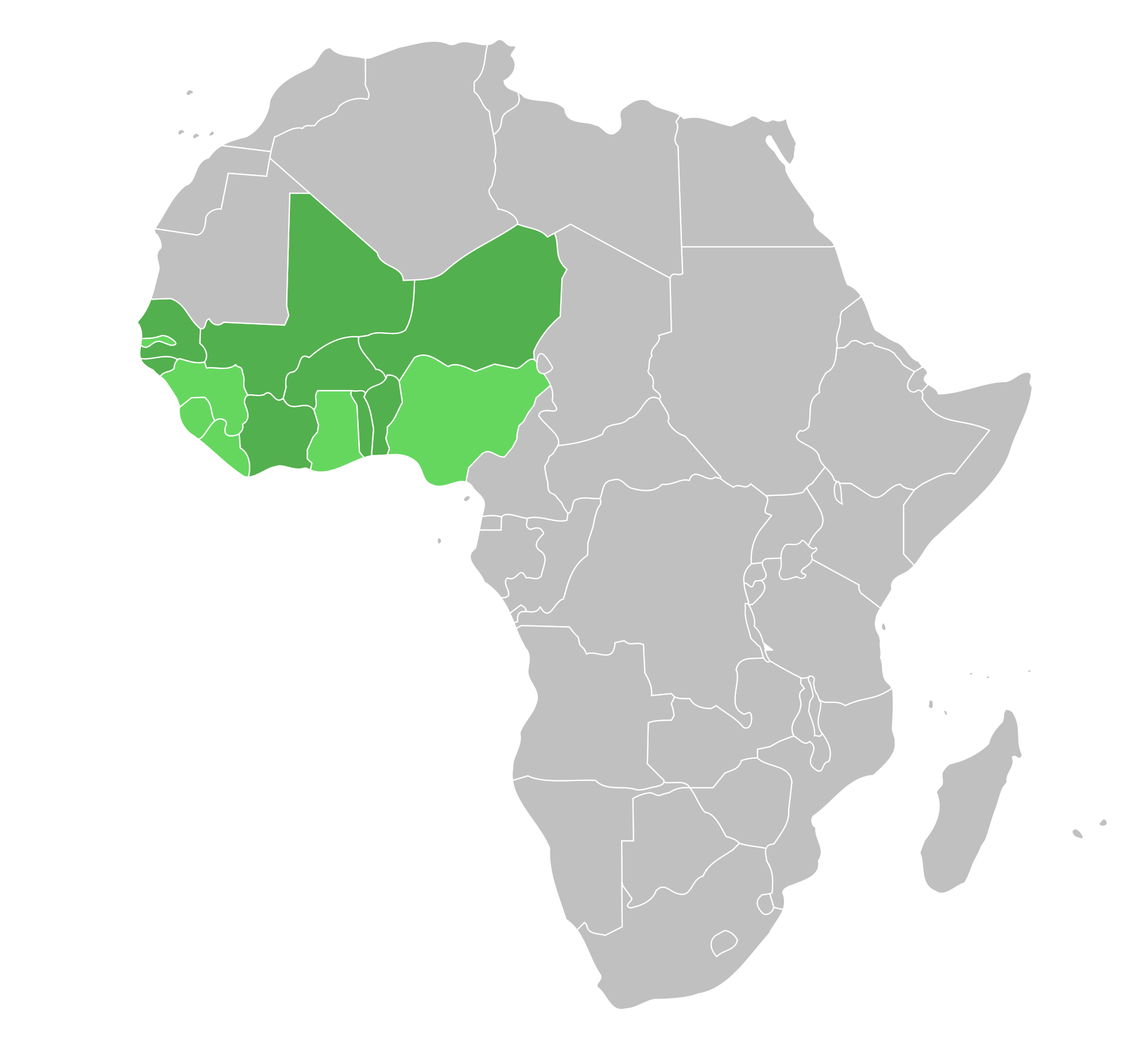
ECOWAS
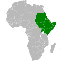
IGAD
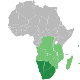
SADC
Average Scores
| Overall Regional Integration |
|---|
| Trade Integration Dimension | Productive Integration Dimension | Macroeconomic Integration Dimension | Infrastructural Integration Dimension | Free movement of people Dimension |
|---|---|---|---|---|
Continent
LIST OF MAP DISCLAIMERS (E, F, S, A, C, R)
(F) Les frontières et les noms indiqués et les désignations employées sur cette carte n'impliquent pas reconnaissance ou acceptation officielle par l'Organisation des Nations Unies. (S) Los Límites y los nombres y las designaciones que figuran en este mapa no implican su apoyo o aceptación oficial por las Naciones Unidas.
(A) إن الحدود والأسماء الواردة في هذه الخريطة والتسميات المستخدمة فيها لا تعني إقرارا أو قبولا رسميا لها من طرف الأمم المتحدة.
(C) 本地图所示边界和名称以及采用的说明性注记并不意味着它们已得到联合国的正式认可或接受。
(R) Показанные границы и географические названия и используемые обозначения не подразумевают официального согласования или признания Организацией Объединенных Наций.
Learn more about the complete map disclaimers here"
Short Disclaimer:
(E) The boundaries and names shown and the designations used on this map do not imply official endorsement or acceptance by the United Nations.(F) Les frontières et les noms indiqués et les désignations employées sur cette carte n'impliquent pas reconnaissance ou acceptation officielle par l'Organisation des Nations Unies. (S) Los Límites y los nombres y las designaciones que figuran en este mapa no implican su apoyo o aceptación oficial por las Naciones Unidas.
(A) إن الحدود والأسماء الواردة في هذه الخريطة والتسميات المستخدمة فيها لا تعني إقرارا أو قبولا رسميا لها من طرف الأمم المتحدة.
(C) 本地图所示边界和名称以及采用的说明性注记并不意味着它们已得到联合国的正式认可或接受。
(R) Показанные границы и географические названия и используемые обозначения не подразумевают официального согласования или признания Организацией Объединенных Наций.
Learn more about the complete map disclaimers here"